FALL COLORS TOUR GUIDE

BOOK NOW
Fall Leaves Driving Tour
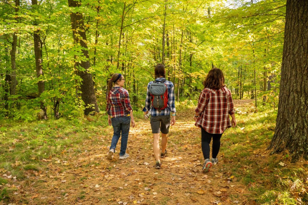
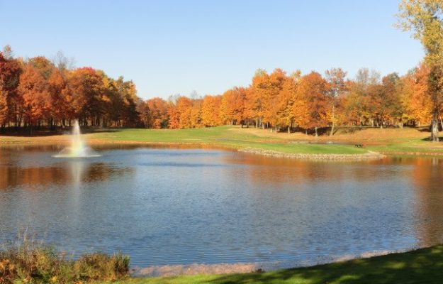
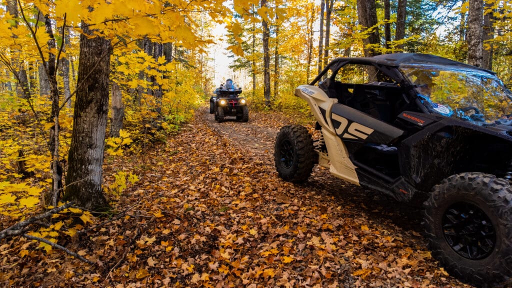
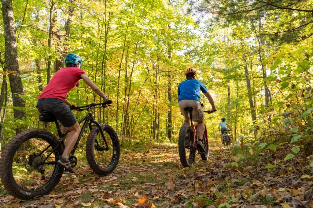
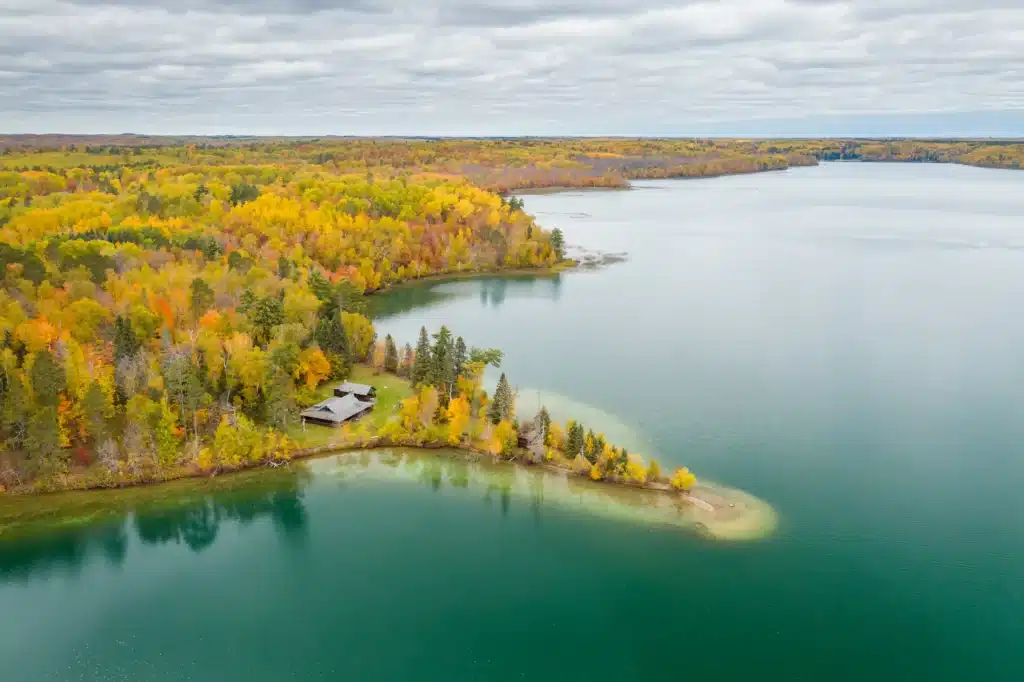
In the fall, the crowds are smaller, the pace slower, and the warmth of a glowing fire lures you into Minnesota’s nature. These Fall Color Maps are designed to give you the best options to experience the fall colors, with marked scenic highlights & stops along the way. Below we have created a Google Map that includes cozy places to stay, area attractions, fun places to eat & drink, places to get gas and snacks, places to shop, and an abundance of outdoor recreation along the fall color tour map routes. There are over 1M acres of mixed hardwoods and pine trees that offer brilliant fall colors around the Grand Rapids, MN area. From the Mississippi River to the Iron Range and the tall pine forests.
THE INTERACTIVE MAP INCLUDES FALL COLOR GUIDES TO:
Avenue of Pines Tour – 86 miles
Hundred Lakes Tour – 89 miles
Off the Beaten Path – 127 miles
Southern Ramble – 108 miles
Maps include marked stops for a scenic walks, food and gas!
DIRECTIONS FOR VIEWING FALL COLOR TOUR MAPS:
To view the list of Tours and Attractions select the Toggle Icon in the blue bar below on the left upper side, that looks like the image here:
You can uncheck the different Tour Trails to show the one you are interested in.
- Click on the toggle button to view full map details below.

